Lesson 1-Introduction and Mapping skills
Learning Goals: By the end of this lesson you will be able to
- Introduction to Canadian Geographical location
- Understand the different components and features of a map
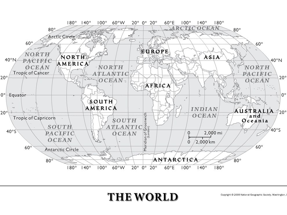
- Know how the Earth is divided into lines of longitude and latitude
- Learn about the Prime Meridian, Equator, and the four hemispheres
- Understand how GPS coordinates work
Success Criteria: By the end of this lesson you will be able to
- Define and label a map using the features of a map learned in class
- Be able to find specific places using GPS coordinates on the map with lines of longitude and latitude
- Identify and label the four hemispheres as well as the Prime Meridian and Equator
Eco system
Island
Bay
Lake
Latitude
Longitude
Equator
Prime Meridian
GPS
Absolute location
Relative location.
- Answer the two questions below:
1) How can a map help us in our everyday lives? List some examples of how you use maps.
2) Name the four hemispheres of the Earth. Name the two imaginary lines (horizontal and vertical). 
- 1.Map of Canada #1: Provinces, Territories and Capital Cities
- }International boundaries highlighted
- }Provincial boundaries highlighted
- }Provinces and Territories labeled (horizontal, name in full, all caps)
- }Provincial capital cities (accurately located!)
- }Nation’s capital (accurately located!)
Students to complete this after you've finished all activities/tasks in today's lesson.